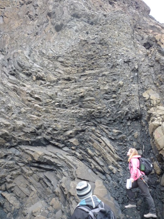
Through a Bachelor's degree in Geology I completed geological field work, spent a summer prospecting for gold in Northern Ontario, and completed two research projects in seismology. During a Master's degree in Geophysics I designed and completed a project analysing static stress transfer from the 2012 Mw 7.8 Haida Gwaii earthquake, as well as probing the source mechanics of that same event. By working with seismologists at Natural Resources Canada's Pacific Geoscience Centre, I learned about earthquake picking, locating, and big data management. Between those degrees I interned at the Earthquake Engineering Research Facility, performing seismic field work and database management as part of a program to characterize seismic site response in Southwest British Columbia.
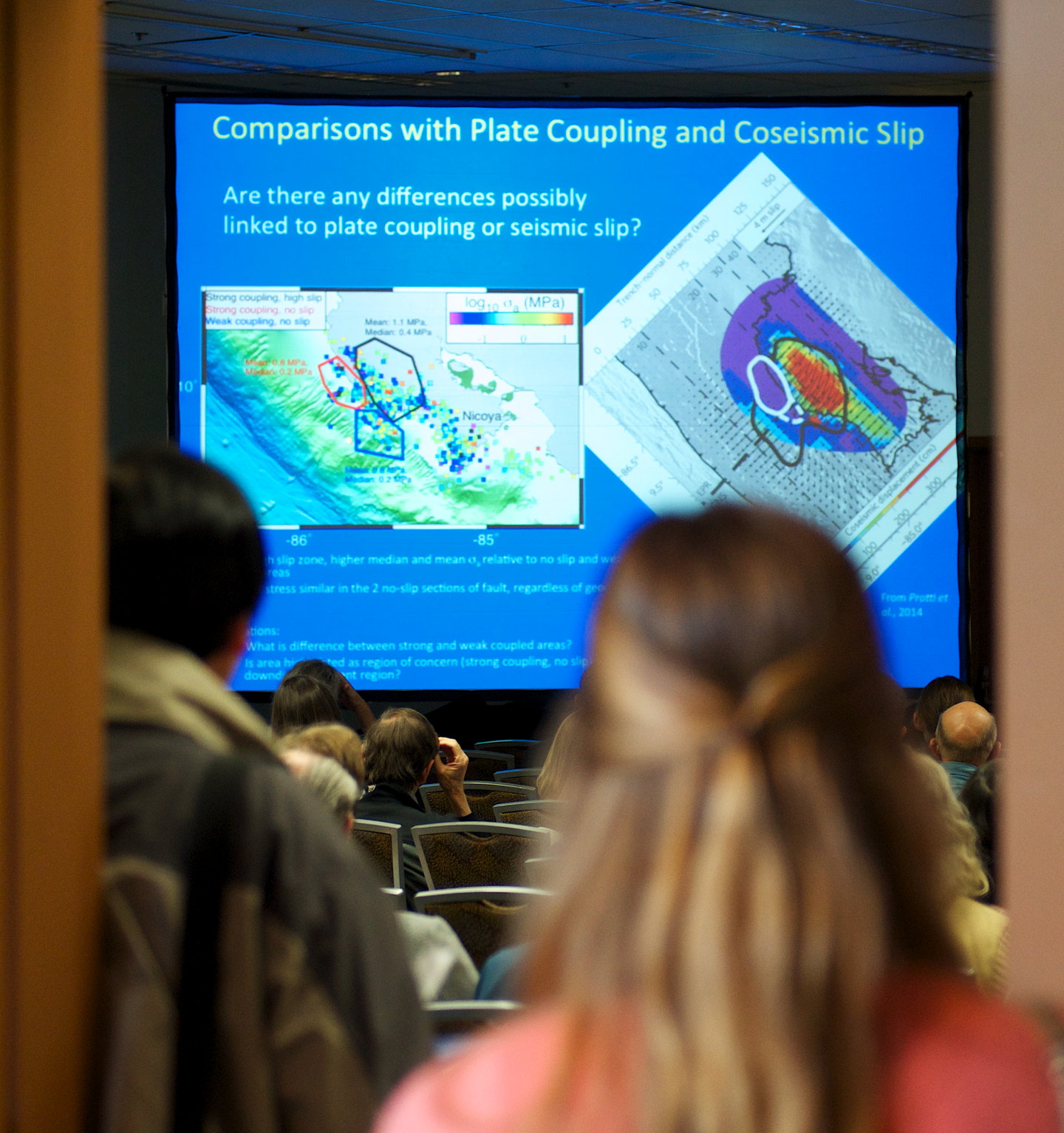
My PhD work augmented my tool kit to include satellite remote sensing techniques: InSAR and GNSS processing. Using combined seismic and geodetic data sets, my work focused on postseismic deformation of the Nicoya Peninsula following the 2012 Mw 7.6 earthquake. The clear goal of this work, in addition to creating a rich dataset for archival purposes, is to elucidate the complex pattern of surface deformation resulting from the interplay of postseismic slip, aftershocks, slip transients, and ongoing convergence of the Cocos and Caribbean plates. Concurrently, I completed an MS in Geotechnical Engineering, with related research into multivariate probabilistic hazard in California.
My goal is to use various geologic, geophysical, and geotechnical datasets to better understand active tectonics and natural hazards. Specifically, I am interested in understanding how the stresses that cause potentially catastrophic events are accumulated through time and space, how failure is ultimately initiated, and what the impacts will be for communities.
Subduction zones generate the largest earthquakes in the world, but remain enigmatic due to the difficulty in instrumenting them over appropriate spatial and temporal spans. Given that the seismogenic portion of the megathrust is frequently offshore, it is also difficult to collect colocated data. Having uninterrupted observation windows with high resolving power is crucial to identifying changes in behavior and inferring the causal physical mechanism. Recent advances in offshore geodesy, such as wavegliders and acoustic cGPS, will remarkably expand our current understanding of processes occurring in the shallow megathrust environment.
My interest is in finding innovative ways to utilize multiple datasets from on- and offshore to create continuous time series of megathrust activity. Questions I aim to address include: How does stress from convergence manifest in heterogeneous forearc crustal material and along sliver-bounding faults? How do concentrations of stress localize and evolve throughout time? How do slow and fast slip phenomena interact and what physical properties control their occurrence?
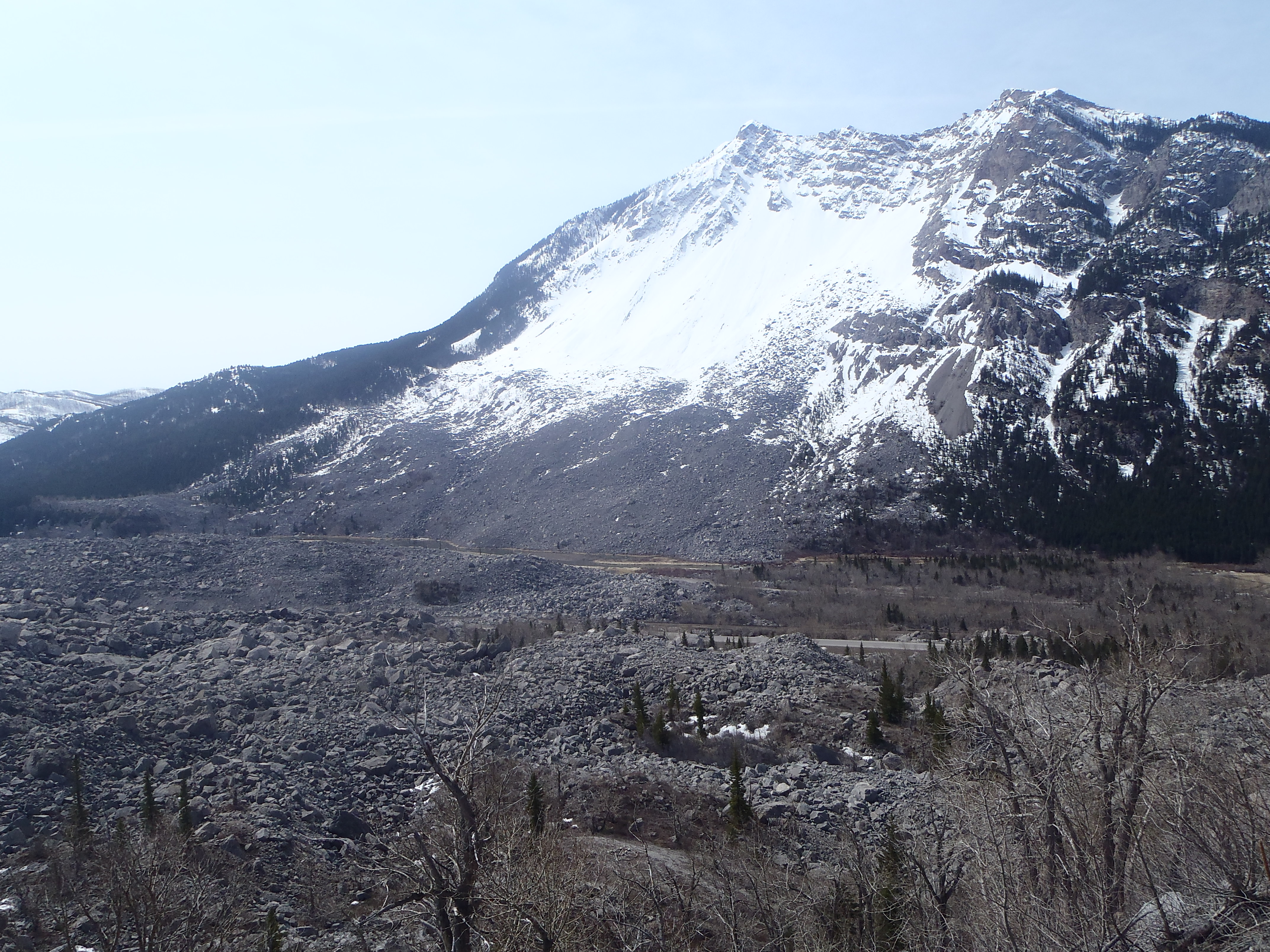
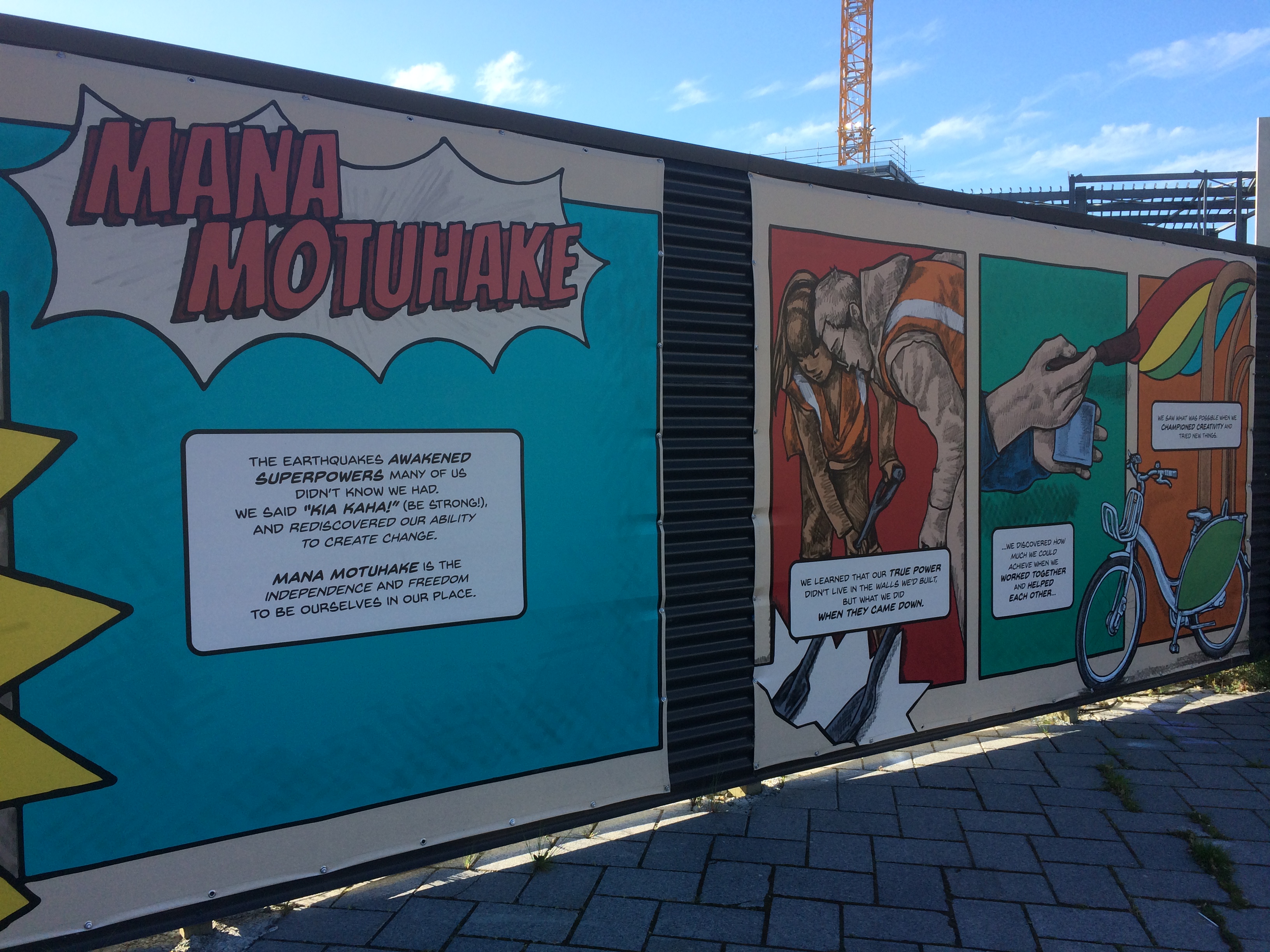
Regions with tectonic activity are frequently home to more than one type of natural hazard. An oversteepened cliff on the coast of California or loose volcanic edifice is susceptible to slope failure induced by earthquake shaking or extreme precipitation. An earthquake on the megathrust triggers secondary hazards like tsunami, liquefaction, and landsliding. By combining my background in geology, geophysics, and geotechnical engineering I am able to study these phenomena, their triggering relationships and the associated multivariate probabilistic hazard.
A magnitude 8 earthquake in the remote eastern edge of the Aleutians will be far less damaging than a shallow magnitude 6 event in an urban center. This is due to the complex relationship between natural hazards and the built environment. By performing sophisticated risk analyses we can prioritize science with the greatest impact, and more easily identify opportunities for disaster risk reduction. In developing the National Seismic Risk Profile for Canada, our group implements the most up-to-date exposure model in OpenQuake software, through a public partnership with the Global Earthquake Model Foundation.